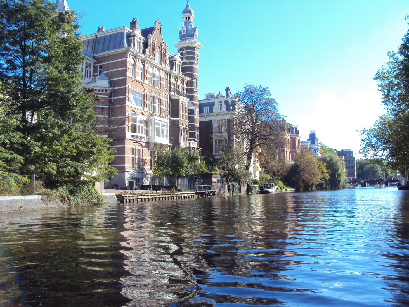
Singelgracht in Amsterdam - Seventeenth-Century Canal Ring Area of Amsterdam inside the Singelgracht
Amsterdam, Netherlands
16.10.2010

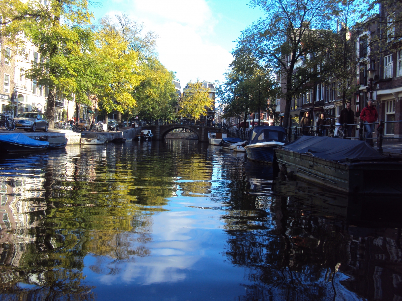
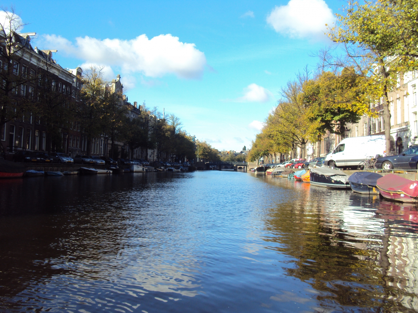
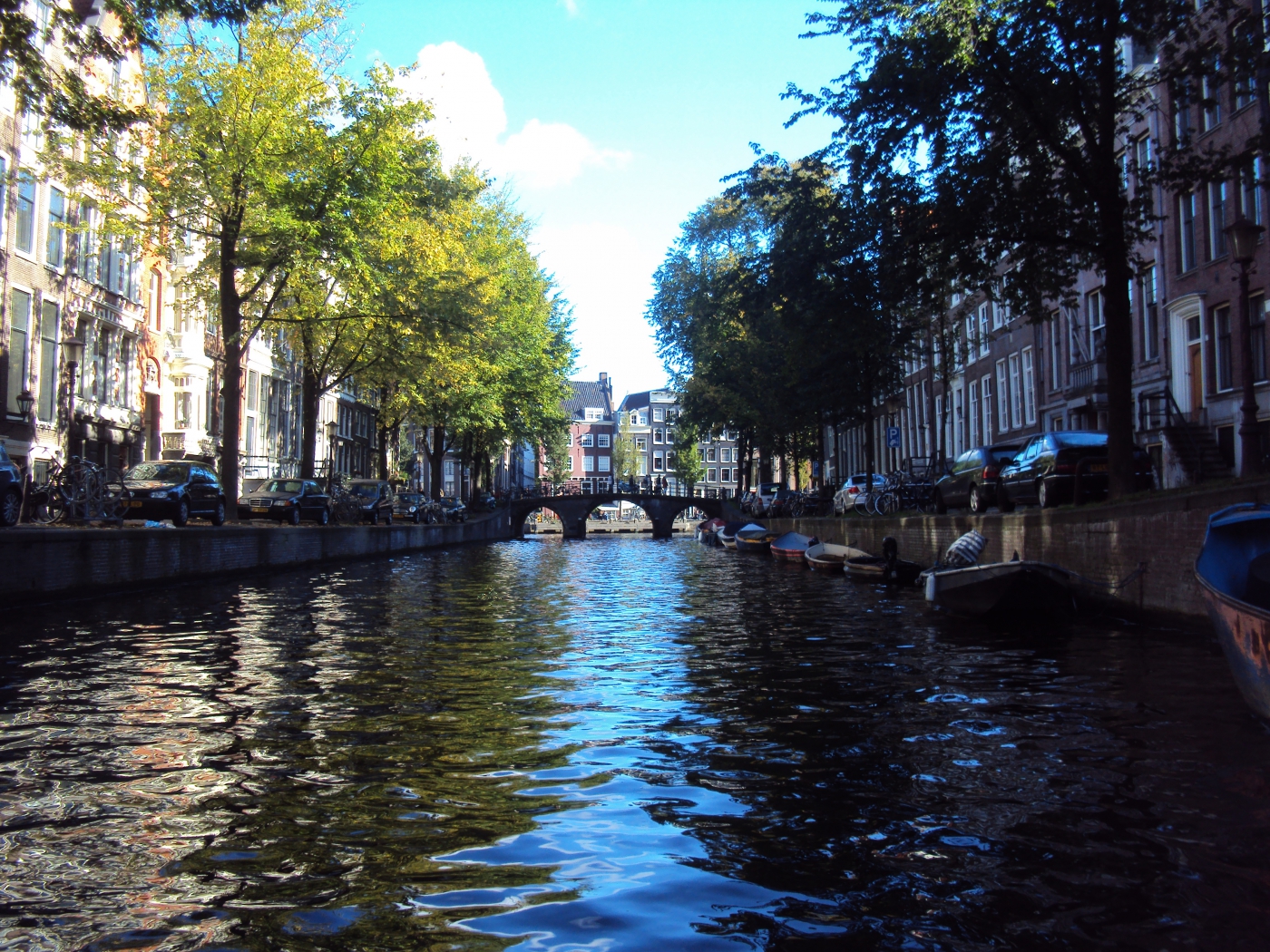
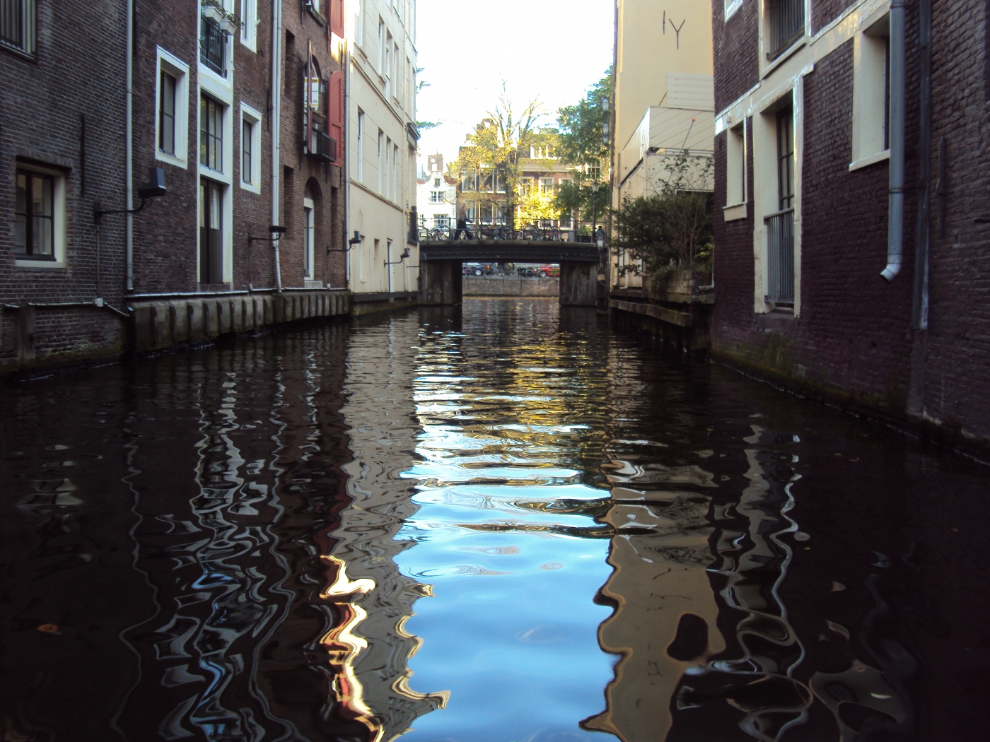
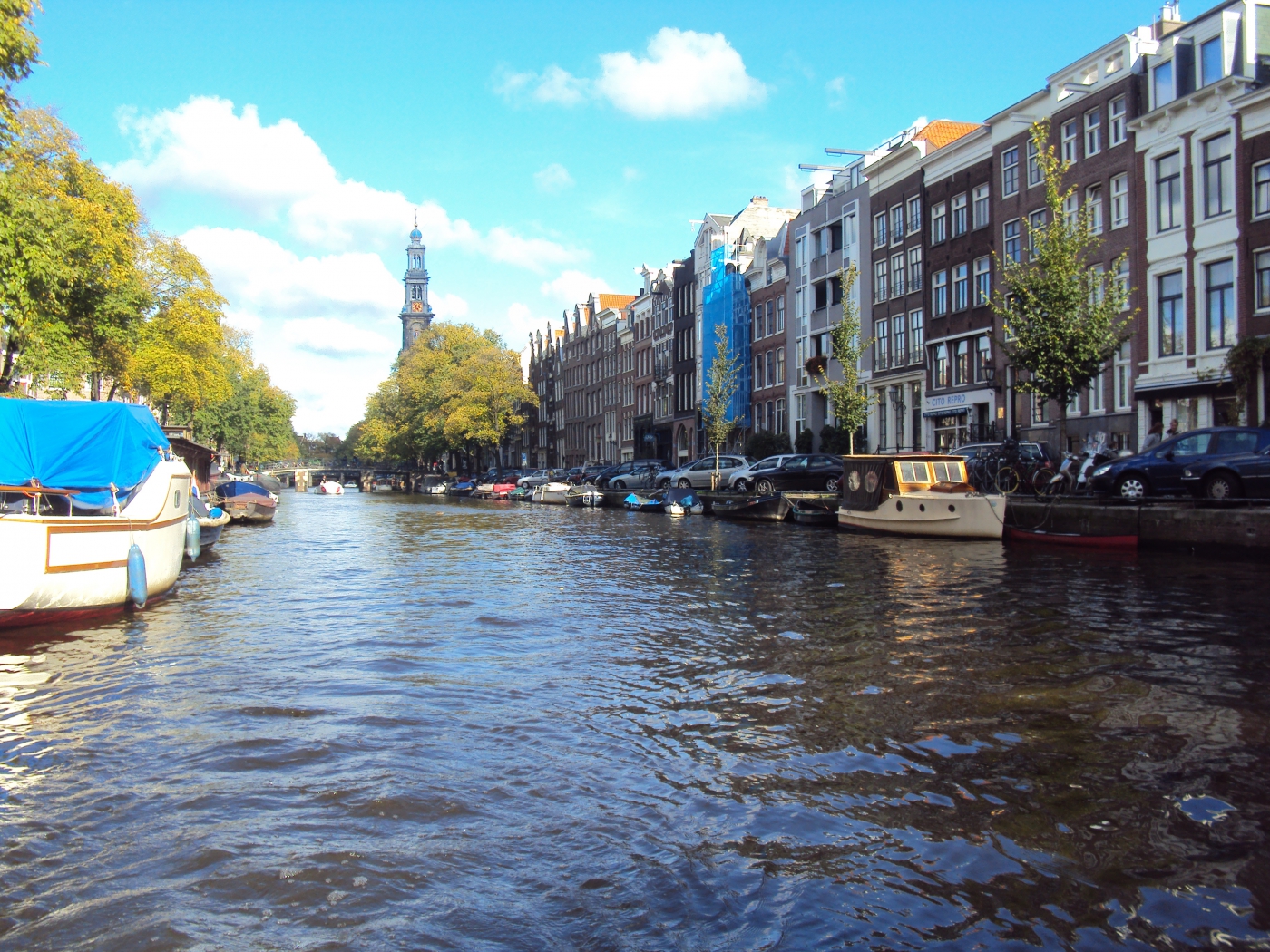
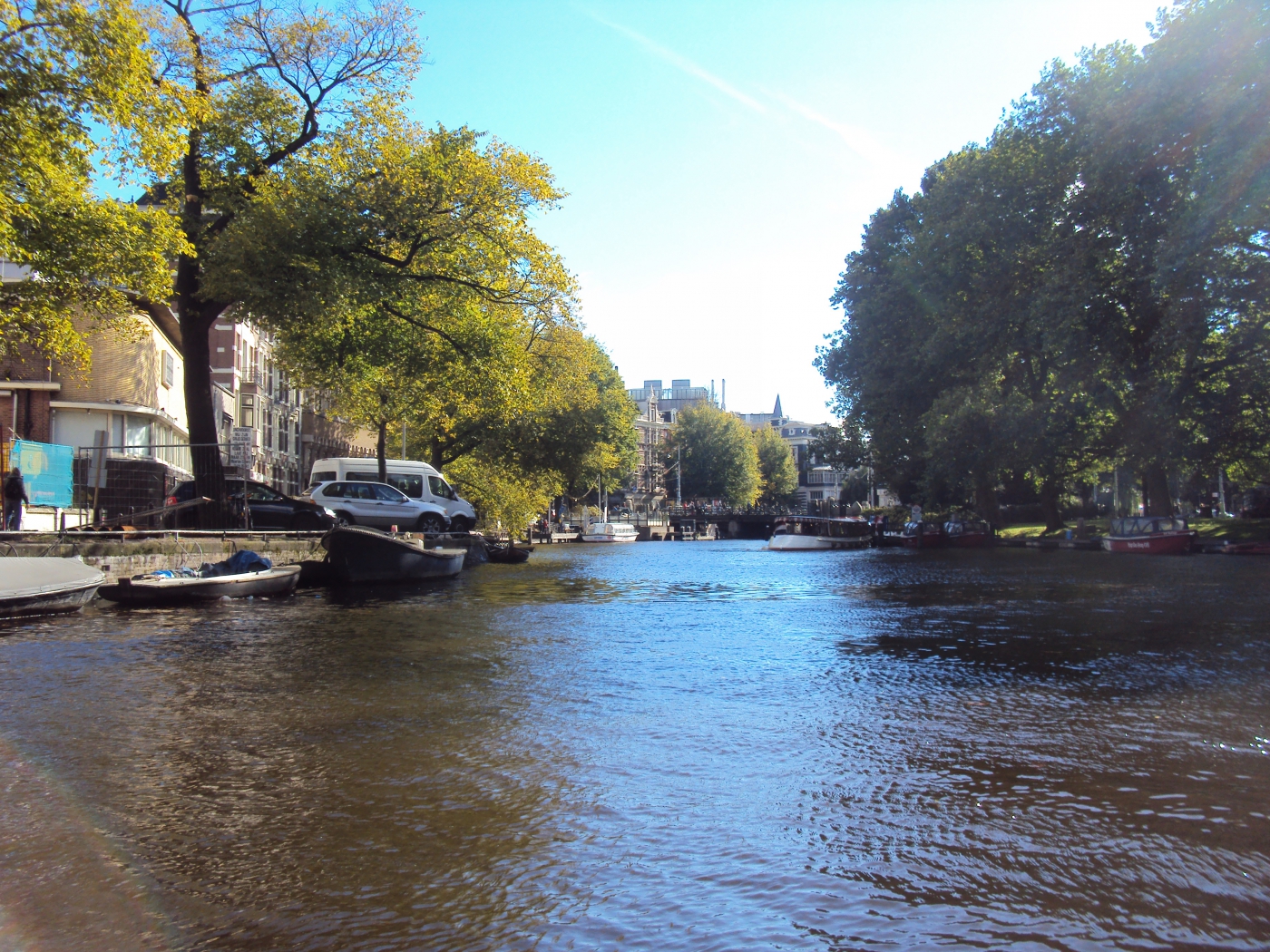
The Canal Ring Area of Amsterdam inside the Singelgracht is a striking emblem of 17th-century urban planning and a designated UNESCO World Heritage site. Constructed during the Dutch Golden Age, this monumental project transformed a bustling medieval city into a global economic and cultural powerhouse. The expansion, which began in 1613, was a visionary response to Amsterdam's burgeoning population and its increasing role in international trade, laying out a sophisticated urban landscape that remains remarkably preserved today.
A Visionary Urban Expansion
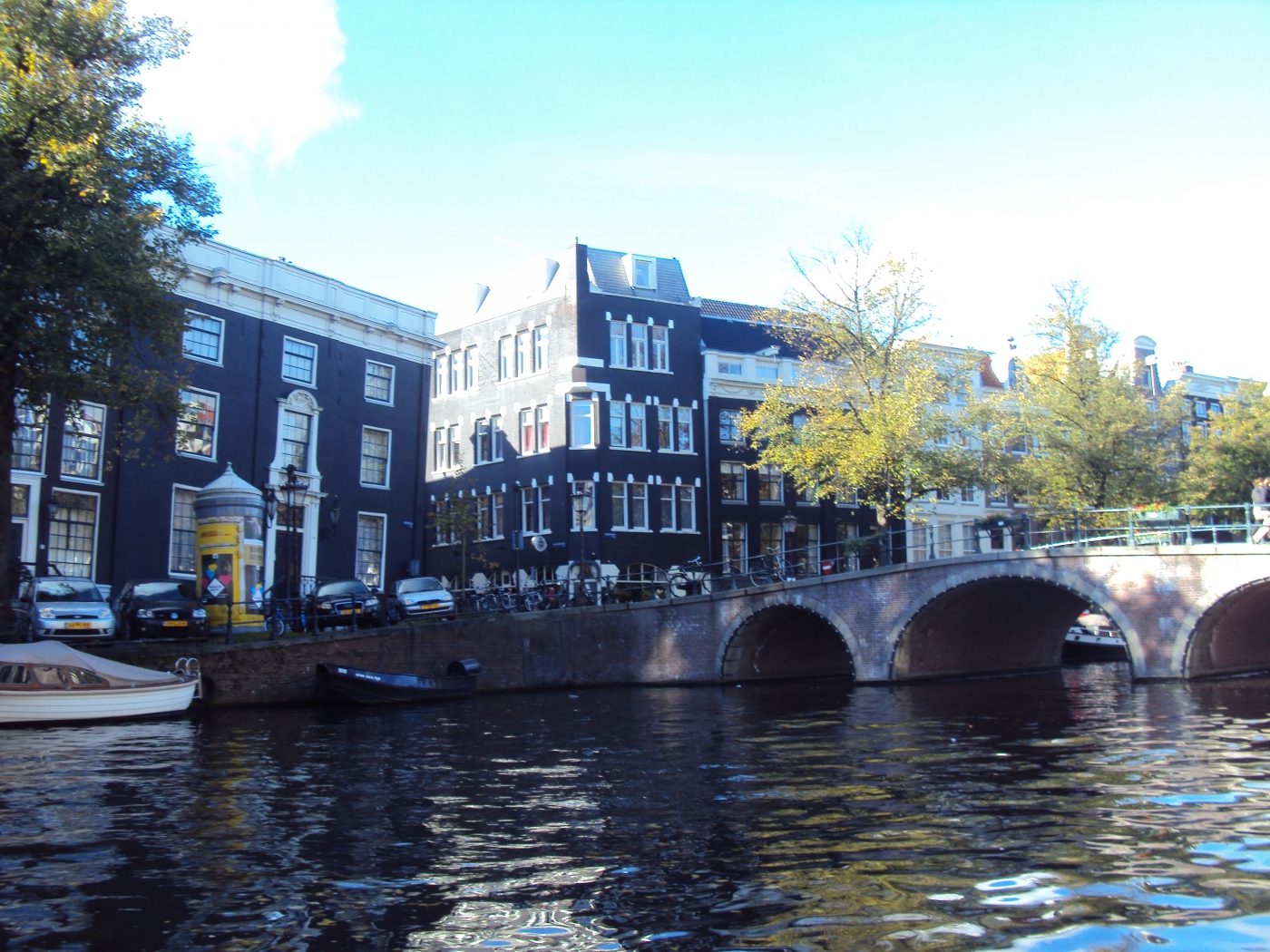
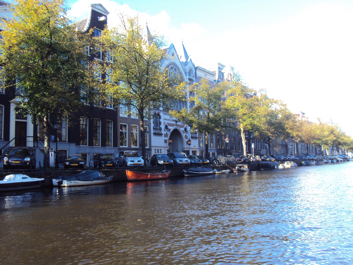
Unlike many organic city growths, Amsterdam's canal belt was meticulously planned. The scheme involved digging three main concentric canals – the Herengracht, Keizersgracht, and Prinsengracht – in a semicircular shape that embraced the existing city center. This ingenious layout not only provided an efficient system for water management and transport but also created thousands of new building plots. The outer canal, the Singelgracht, marked the new city limits and served as both a defensive moat and a shipping route. This comprehensive design integrated residential, commercial, and administrative functions, reflecting the city’s economic prowess and civil aspirations.
Architectural Grandeur
Along these magnificent waterways stand thousands of iconic canal houses, each a testament to Dutch Renaissance and Baroque architecture. Characterized by their narrow facades, often adorned with elaborate gables, these buildings served a dual purpose: ground floors typically housed warehouses or businesses, while upper floors were elegant residences. The distinct appearance of these buildings, with their hoisting beams, reflects their vital role in mercantile activities, where goods were lifted directly from barges onto upper floors. The unified yet diverse architectural styles, combined with the tree-lined canals and numerous bridges, create an unparalleled urban ensemble that continues to captivate visitors and residents alike, embodying the spirit of Amsterdam's golden era.
Further Reading
The historic urban ensemble of the canal district of Amsterdam was a project for a new ‘port city’ built at the end of the 16th and beginning of the 17th centuries. It comprises a network of canals to the west and south of the historic old town and the medieval port that encircled the old town and was accompanied by the repositioning inland of the city’s fortified boundaries, the Singelgracht. This was a long-term programme that involved extending the city by draining the swampland, using a system of canals in concentric arcs and filling in the intermediate spaces. These spaces allowed the development of a homogeneous urban ensemble including gabled houses and numerous monuments. This urban extension was the largest and most homogeneous of its time. It was a model of large-scale town planning, and served as a reference throughout the world until the 19th century.
The Grachtengordel (Dutch pronunciation: [ˌɣrɑxtə(ŋ)ˈɣɔrdəl] , lit. 'canal belt/girdle'), known in English as the Canal District, is a neighborhood in Amsterdam, Netherlands located in the Centrum district. The seventeenth-century canals of Amsterdam, located in the center of Amsterdam, were added to the UNESCO World Heritage List in August 2010. The Amsterdam Canal District consists of the area around the city's four main canals: the Singel, the Herengracht, the Keizersgracht, and the Prinsengracht. From the Brouwersgracht, the canals are generally parallel with one another, leading gradually southeast into the Amstel river.
Many of the canal houses in the Amsterdam Canal District are from the Dutch Golden Age, 17th century. Many of these buildings, however, underwent restoration or reconstruction in various centuries, meaning that the buildings display many different architectural styles and facades.